Facilities
Our facilities give you real, hands-on experience.
Water Resources and Remote Sensing (WRES) Lab
The WRES lab lets you investigate real-world problems. Members of this lab simulate and investigate the water cycle. You'll use physically-based hydraulic models, machine learning, and big data analysis such as remote sensing satellite data.
What's Included
In the WRES lab, you'll have access to software, data, tools, and resources in one place. The lab has high-performance computers. Multiple workstations offer dual-screen monitors with Xeon Precision processor towers and up-to-date software packages. You'll also share resources with other students through a large capacity data server.
WRES has licenses for hydrogeologic and water resources modeling, spatial analysis, remote sensing, and programming, including:
- Groundwater Modeling System - GMS (v10.4)
- ArcGIS (v10.6)
- Envi (v5.4)
- IDL
- Agisoft Metashape Professional
- MATLAB (v19)
- SPSS
- RStudio
- Soil Water Assessment Tool (SWAT)
- TerrSet integrated geospatial software system
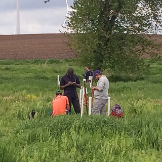
T3 Field Site
Our T3 field site is reclaimed agricultural land that's being restored as prairie. The site lets you explore the use of a diversion tile network to help remove nutrients in groundwater and surface water. Research at T3 focuses on the transport and fate of nutrients in a saturated buffer zone.
What's Included
T3 has more than 20 wells that provide groundwater monitoring capabilities.
Laboratory for Environmental Analysis (LEA)
LEA is a not-for-profit professional analytical laboratory. It provides analytical services for nutrients in soil and water samples to the University and community. Students who work in the lab have the opportunity to advance their skills and get professional laboratory experience.
What's Included
Major instruments used in LEA include a Lachat FIA and a Dionex Ion Chromatograph.
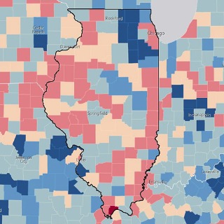
The Institute for Geospatial Analysis and Mapping (GEOMAP)
Develop your skills on a professional level. GEOMAP supports research, education, and outreach. These activities give us a better understanding of our environmental and social challenges thanks to Geographic Information Science. GIScience ensures we have a sustainable future throughout the world.
What's Included
GEOMAP is a modern research facility for geographic information science research and mapping projects.
-
Software includes:
- ESRI ArcGIS
- ENVI
- Adobe Creative Suite
-
Hardware includes:
- Computationally intensive computers
- iPads
- GPS equipment
- Printers
- Plotters
Illinois Geographic Alliance
IGA includes a group of educators that promote geographic knowledge in schools and all across Illinois. They are active in teacher education and developing curriculum materials.
What's Included
- Giant Traveling Floor Map of Illinois
- Online Atlas of Illinois